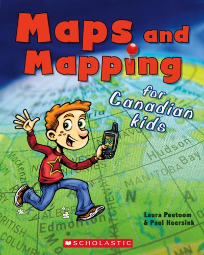
Maps and Mapping for Canadian Kids
- ISBN 9781443104937, Paperback
- 40 Pages | Ages 7 to 10
Maps are pictures of places. They can be printed on paper or shown on a screen. A map shows you how to get around in a place that is unfamiliar. A map can even tell you new things about a place you know.
What is a map, anyway? How do they work? Maps and Mapping for Canadian Kids will walk kids through elements of a map. By discussing concepts such as scale, symbols, and colour, they'll see how maps work and how to read them. Basic principles of navigation explain how early explorers and navigators were able to chart the world, and Canada in particular. A special section on David Thompson highlights the achievements of this great Canadian cartographer.
Rights Sold
French (N. Amer.) – Éditions Scholastic
Awards
- Commended, Best Books for Kids and Teens, Canadian Children's Book Centre, 2012
Contact:
Maral Maclagan, Senior Manager, Rights & Contracts, Scholastic Canada Ltd., mmaclagan@scholastic.ca.
